Unlocking the potential of the DJI Matrice 350 RTK across industries
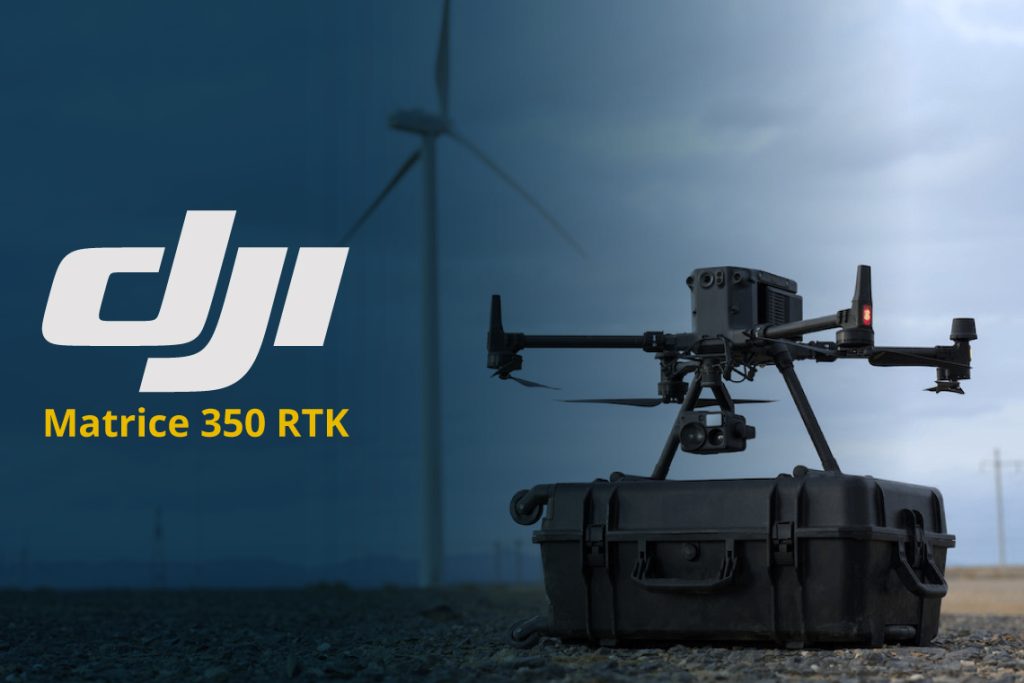
This next-generation drone platform is revolutionizing operations in many industries; its advanced features and robust design make it an essential tool for aerial applications. In an era where technology advances continuously, surprising us with its ability to make tasks more efficient and effective, the DJI Matrice 350 emerges as a game-changer. This professional drone combines […]
Unveiling the Trimble DA2 GNSS Receiver: Advantages, Features, and Applications
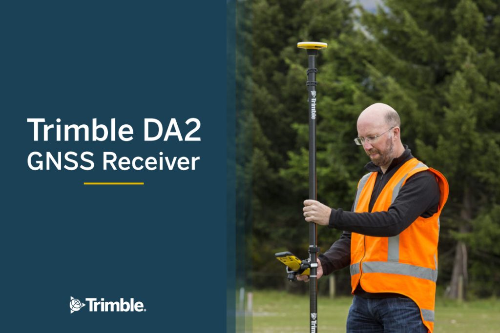
Explore the Trimble DA2’s lightweight design, Bluetooth connectivity, and advanced ProPoint technology—perfect for enhancing geospatial tasks in agriculture, construction, and mapping. In the evolving world of geospatial solutions, the Trimble DA2 GNSS receiver emerges as a game-changer. Offering widespread deployment of GNSS positioning, it brings smarter and more accessible data collection to a broader audience than traditional receivers. Imagine managing a construction site survey with an […]
Enhance Field Productivity with the Trimble R12i GNSS Receiver
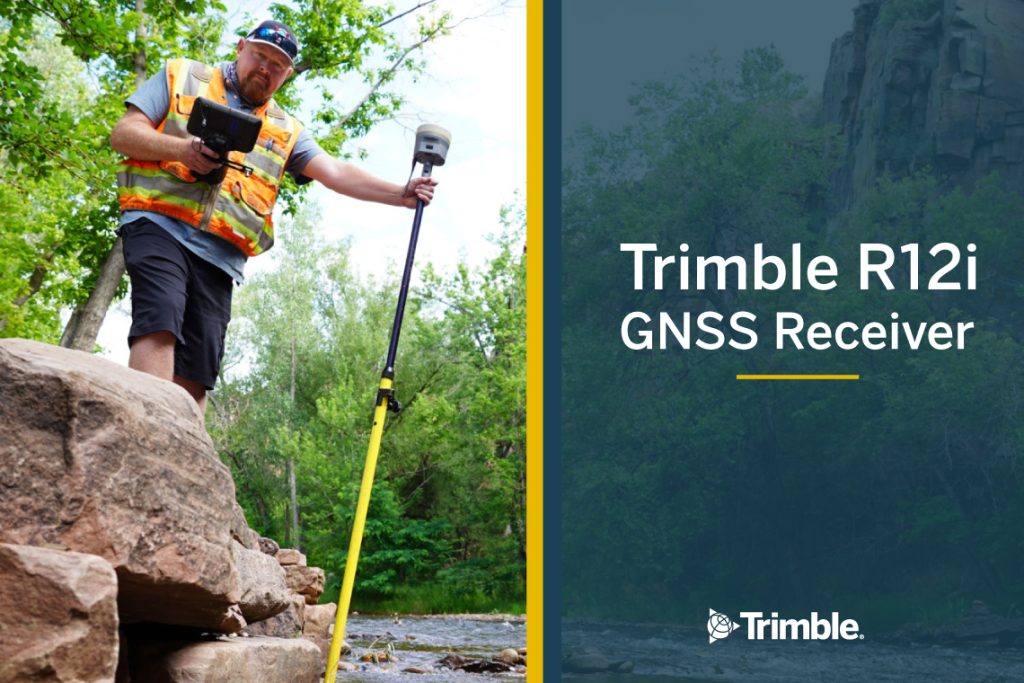
Transform field operations with the Trimble R12i GNSS receiver. Enhanced accuracy and productivity with Pro Point and TIP technology. Ideal for construction, surveying, and environmental sectors. Field professionals who work with GNSS systems know that even with the best devices one can struggle in harsh conditions: where challenges will always come. That’s why the integration of the most advanced […]
Capture reality like never before with the Trimble X9 3D Laser Scanner
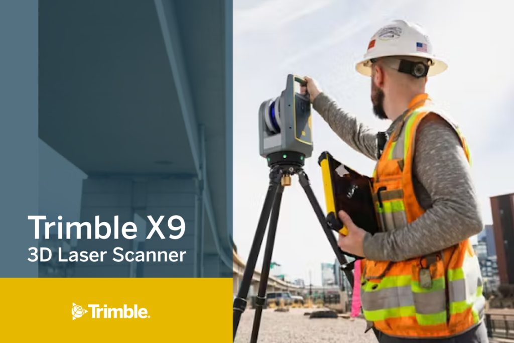
Experience a system that delivers unmatched speed, range, accuracy, precision and automated capabilities tailored to real-world applications, enabling improved productivity and efficiency In today’s dynamic work environments, accuracy and efficiency are paramount. The Trimble X9 3D laser scanner emerges as a game changer, offering professionals unprecedented capabilities in data capture technology. More than just a […]
Unlocking the Power of Trimble Mobile Mapping: What You Can Achieve with TBC 2025
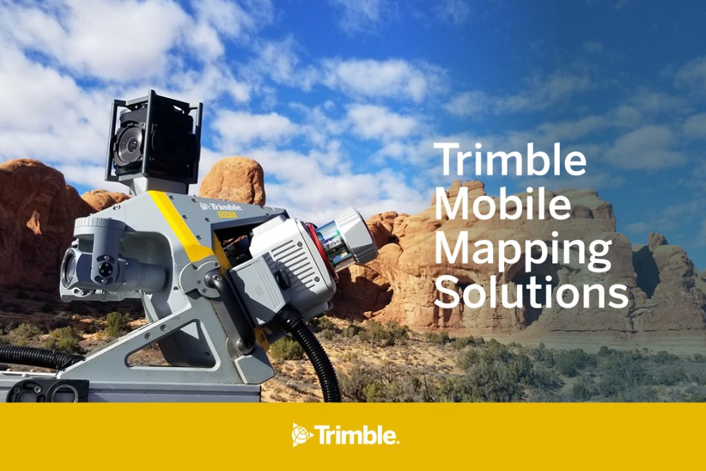
Discover how Trimble’s mobile mapping systems and Trimble Business Center 2024 can revolutionize geospatial data collection and analysis for road asset management, city planning, and more. Trimble’s mobile mapping systems represent a breakthrough in geospatial data collection and analysis. Integrating advanced sensors like LiDAR, cameras, and GNSS receivers on moving vehicles, these systems gather high-resolution […]
Unleashing the Power of YellowScan: Advanced LiDAR Mapping Solutions for Diverse Applications
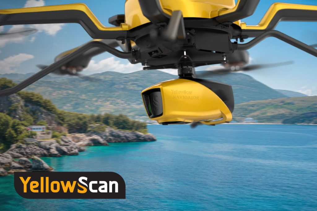
YellowScan’s advanced LiDAR mapping solutions offer high-precision 3D mapping for a variety of applications. Enhance your projects with cutting-edge geospatial data collection technology. In the evolving landscape of geospatial technology, YellowScan stands out with its cutting-edge LiDAR mapping solutions. From high-precision 3D mapping to versatile Fly & Drive systems, YellowScan is transforming how industries capture […]
Geospatial Data Capture: Revolutionizing Projects with the Trimble MX60
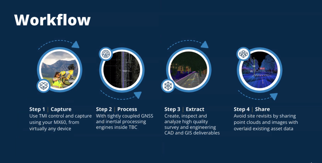
Elevating Construction and Urban Planning with Cutting-Edge Geospatial Tools. Precise and accurate geospatial data capture is essential for modern construction and urban planning. It provides the detailed geographic information needed to create accurate maps, 3D models, and spatial analyses. This data drives informed decision-making, optimizing efficiency and sustainability. The Trimble MX60 is the latest addition […]
DJI Mavic 3 Thermal: The Technology Transforming the Construction Industry
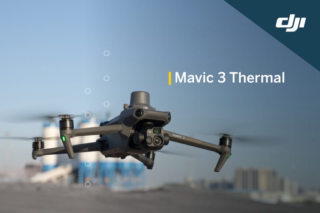
Discover how the DJI Mavic 3 Thermal is revolutionizing the construction industry with its high-precision thermal camera. Improved inspection, monitoring, and safety to optimize your projects. Drones are currently revolutionizing many industries, and one that is impacting the Construction industry is the DJI Mavic 3 Thermal. Thanks to its high-precision thermal sensor and advanced monitoring capabilities. This […]
Why choose HLCM?, empowering your operations with advanced technology and reliable support.
HLCM combines innovation, quality, and personalized service, offering reliable solutions tailored to each client. With advanced technology, efficient support, and durable equipment, we are the ideal choice to optimize your operations. At HLCM, we combine technological innovation with a customer-centric approach to deliver services that exceed expectations and generate tangible results. We partner with trusted […]
Transform your projects with total stations designed for precision and reliability with HLCM. The added value lies in warranty and support anytime
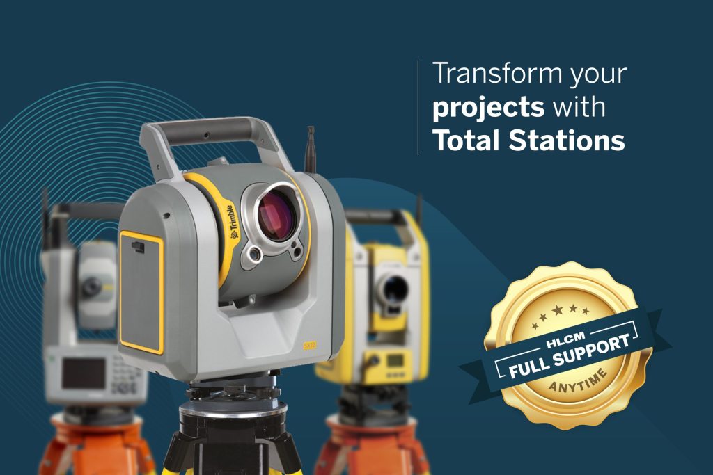
Discover Trimble total stations: precision, durability, and advanced technology that maximize the value of your projects. With expert technical support and tools designed to optimize every stage of your workflow, we ensure outstanding results. Choose quality and reliability with HLCM. Total stations are essential tools for capturing geospatial data with precision, making them critical for […]