Blog & News

Unlocking the potential of the DJI Matrice 350 RTK across industries

Unlocking the potential of the DJI Matrice 350 RTK across industries

This next-generation drone platform is revolutionizing operations in many industries; its advanced features and…

Unveiling the Trimble DA2 GNSS Receiver: Advantages, Features, and Applications

Unveiling the Trimble DA2 GNSS Receiver: Advantages, Features, and Applications

Explore the Trimble DA2’s lightweight design, Bluetooth connectivity, and advanced ProPoint technology—perfect for enhancing geospatial tasks in agriculture, construction,…

Enhance Field Productivity with the Trimble R12i GNSS Receiver

Enhance Field Productivity with the Trimble R12i GNSS Receiver

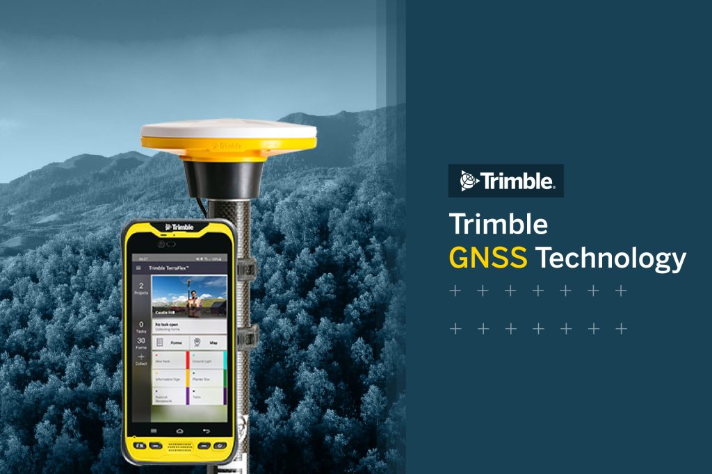
Transform field operations with the Trimble R12i GNSS receiver. Enhanced accuracy and productivity with Pro Point…

Capture reality like never before with the Trimble X9 3D Laser Scanner

Capture reality like never before with the Trimble X9 3D Laser Scanner

Experience a system that delivers unmatched speed, range, accuracy, precision and automated capabilities tailored…

Unlocking the Power of Trimble Mobile Mapping: What You Can Achieve with TBC 2025

Unlocking the Power of Trimble Mobile Mapping: What You Can Achieve with TBC 2025

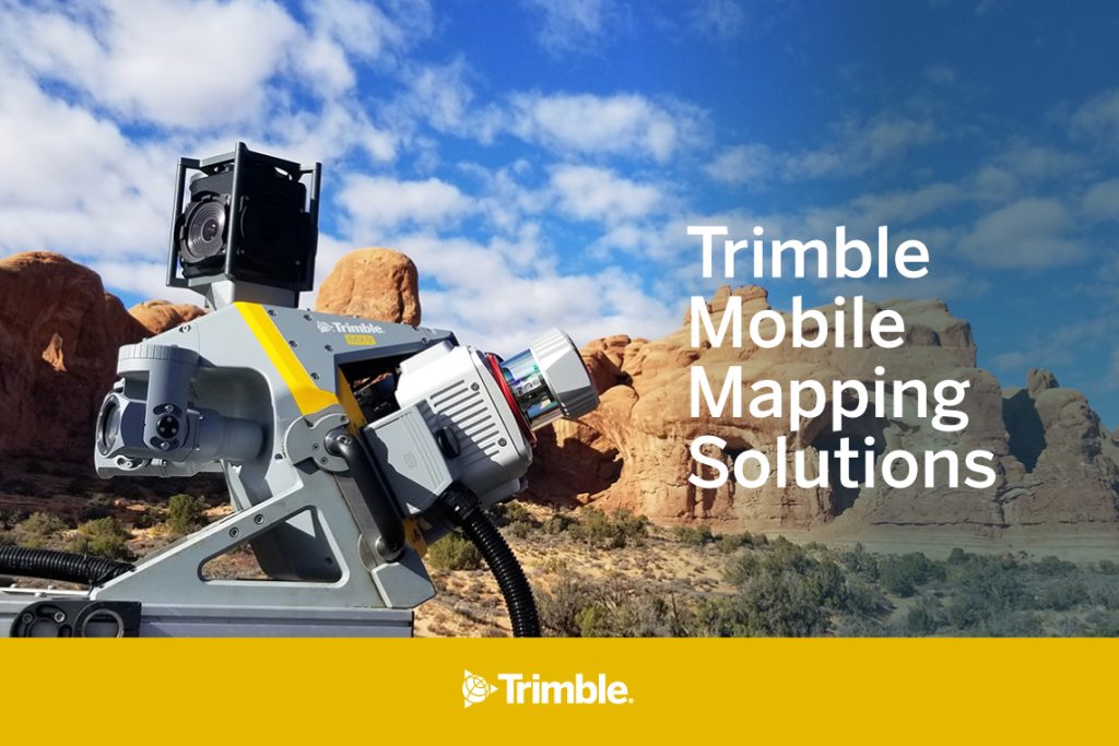
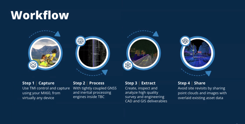
Discover how Trimble’s mobile mapping systems and Trimble Business Center 2024 can revolutionize geospatial…

Unleashing the Power of YellowScan: Advanced LiDAR Mapping Solutions for Diverse Applications

Unleashing the Power of YellowScan: Advanced LiDAR Mapping Solutions for Diverse Applications

YellowScan’s advanced LiDAR mapping solutions offer high-precision 3D mapping for a variety of applications.…

Geospatial Data Capture: Revolutionizing Projects with the Trimble MX60

Geospatial Data Capture: Revolutionizing Projects with the Trimble MX60

Elevating Construction and Urban Planning with Cutting-Edge Geospatial Tools.   Precise and accurate geospatial…

DJI Mavic 3 Thermal: The Technology Transforming the Construction Industry

DJI Mavic 3 Thermal: The Technology Transforming the Construction Industry

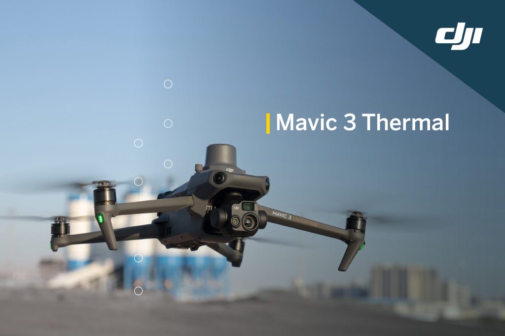
Discover how the DJI Mavic 3 Thermal is revolutionizing the construction industry with its…

Why choose HLCM?, empowering your operations with advanced technology and reliable support.

Why choose HLCM?, empowering your operations with advanced technology and reliable support.

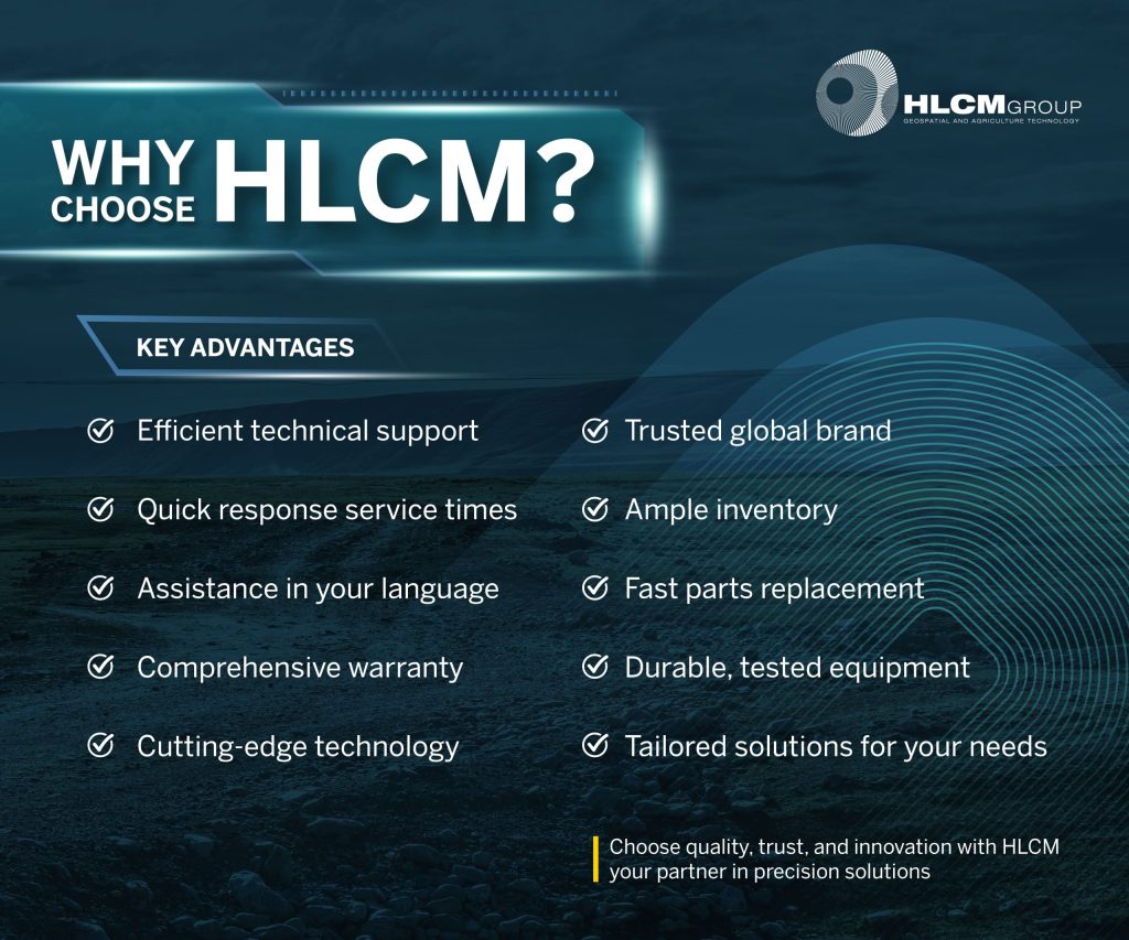
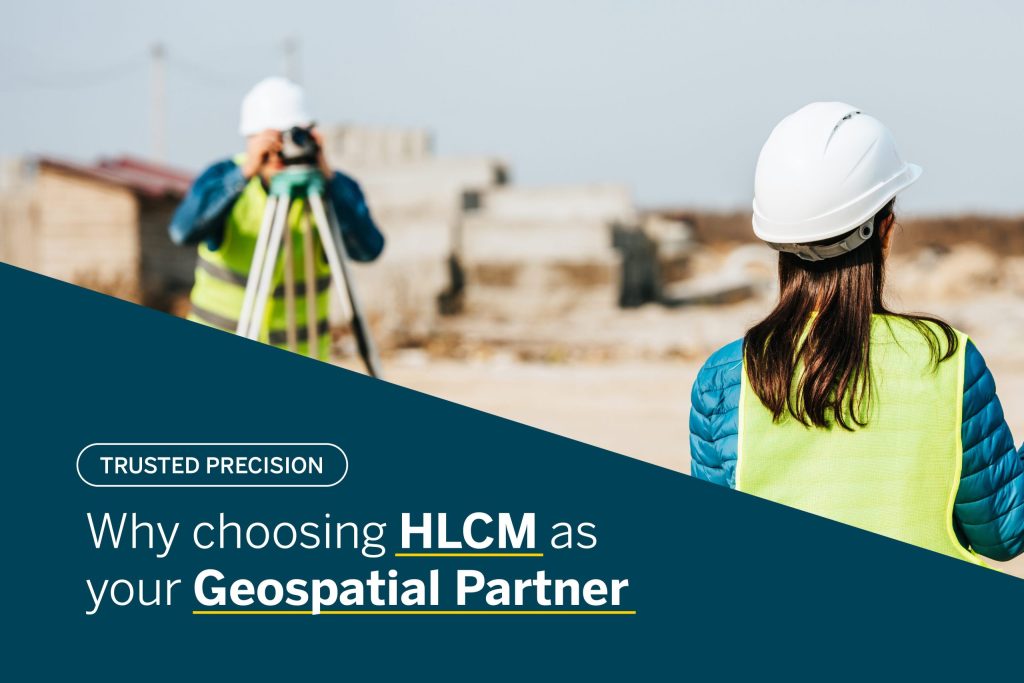
HLCM combines innovation, quality, and personalized service, offering reliable solutions tailored to each client.…

Transform your projects with total stations designed for precision and reliability with HLCM. The added value lies in warranty and support anytime

Transform your projects with total stations designed for precision and reliability with HLCM. The added value lies in warranty and support anytime

Discover Trimble total stations: precision, durability, and advanced technology that maximize the value of…

Trimble GNSS Technology: The Key to Accurate and Reliable Measurements

Trimble GNSS Technology: The Key to Accurate and Reliable Measurements

Discover Trimble total stations: precision, durability, and advanced technology that maximize the value of…

Why Choosing Subscription Software from Trimble Is the Ideal Way Forward

Why Choosing Subscription Software from Trimble Is the Ideal Way Forward

Stay Ahead with Innovation, Reliability, and Expert Support   In today’s fast-paced surveying and…

How to choose trusted GNSS and Total Stations

How to choose trusted GNSS and Total Stations

Precision, reliability, and support that make the difference In the world of surveying, engineering,…

Trusted technology to transform infrastructure in Puerto Rico and the Caribbean

Trusted technology to transform infrastructure in Puerto Rico and the Caribbean

In recent years, the Caribbean has faced numerous challenges, from natural disasters to infrastructure…

The Next Leap Forward: Introducing the DJI Matrice 400 RTK for Unparalleled Surveying and Mapping

The Next Leap Forward: Introducing the DJI Matrice 400 RTK for Unparalleled Surveying and Mapping

The world of geospatial data collection is in a constant state of evolution, with…

Choosing the right geospatial partner: 5 key factors that matter

Choosing the right geospatial partner: 5 key factors that matter

In today’s competitive and fast-paced landscape, surveying, mapping, and infrastructure development demand much more…

Why choosing HLCM as your geospatial Partner translates into real results

Why choosing HLCM as your geospatial Partner translates into real results

In today’s competitive geospatial, construction, and surveying industries, success depends on more than just…