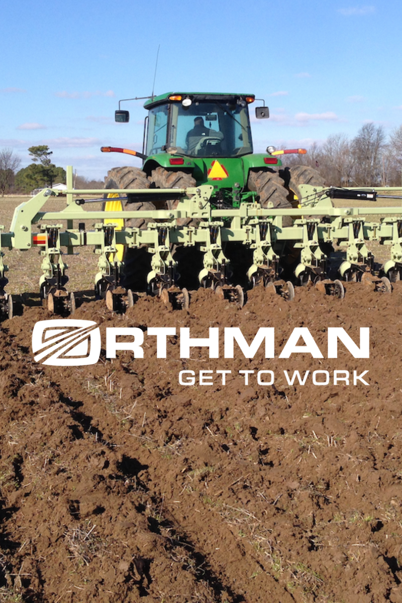
HLCM GROUP has built trustworthy and longstanding distribution agreements with several of the industry’s leading manufacturers, often of an exclusive nature, and continues to build new partnerships and explore opportunities with companies offering the latest innovative geospatial technology. These include:
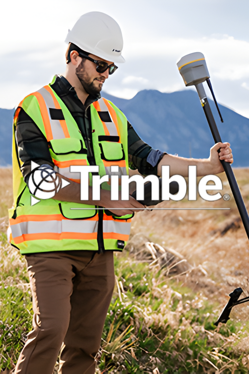
Survey with Confidence at every Turn
Founded in 1978 Trimble is transforming the way the world works by delivering products and services that connect the physical and digital worlds. Trimble software, hardware and services are transforming industries such as agriculture, construction, geospatial and transportation and logistics.
HLCM GROUP offers:
• Geospatial Authorized Distributor for Puerto Rico and the Caribbean.
• Precision Agriculture for Puerto Rico and Dominican Republic.
• Authorized Repair Service Center for GPS & Data Collectors.
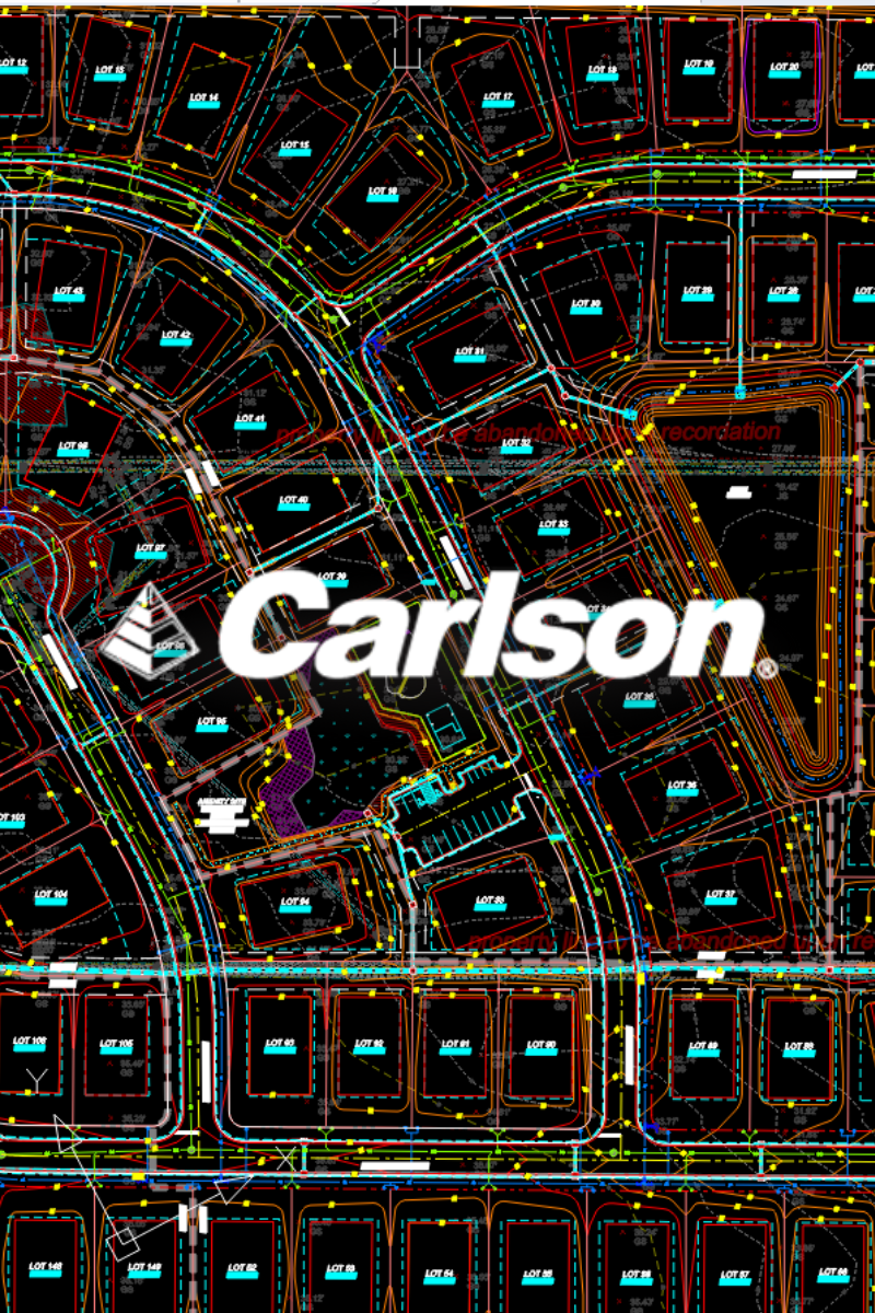
Proven Solutions for Land Development and Mining Professionals
Founded in 1983, Carlson Software specializes in CAD design software, field data collection, and machine control products for the land surveying, civil engineering, construction, and mining industries worldwide, providing one-source technology solutions from data collection to design to construction.

Built for the Grind. Engineered for Precision
SECO Manufacturing Co., enjoys a worldwide reputation for being on the cutting edge of designing and manufacturing tools and accessories for surveying, construction, utilities, and other industries that use GPS/GNSS technology.
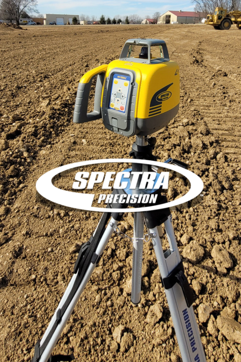
Lasers, It’s what we do
For more than 55 years, Spectra Precision has been an innovation leader in the construction industry worldwide. Spectra Geospatial has long been an established brand, belonging to Trimble Inc., known for delivering quality products to the survey and construction markets. The Spectra Geospatial brand offers a complete product portfolio including Global Navigation Satellite Systems (GNSS), Global Positioning Systems (GPS), optical total stations, data collection hardware, field and office software, as well as a wide range of construction tools.
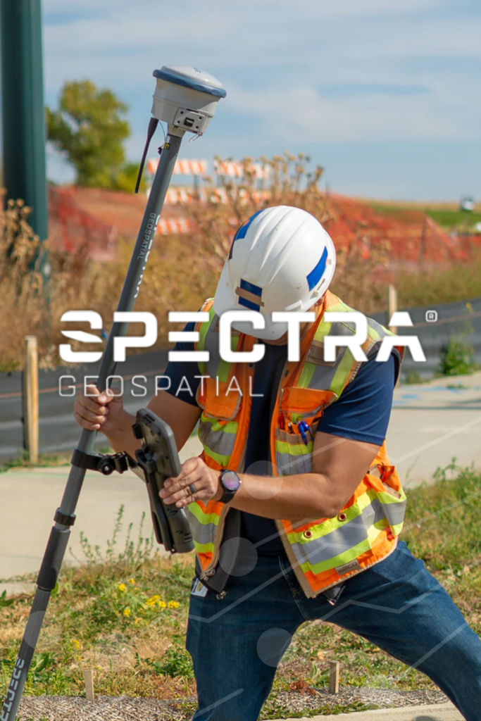
Modern Technology for Every Surveyor
For more than 55 years, Spectra Precision has been an innovation leader in the construction industry worldwide. Spectra Geospatial has long been an established brand, belonging to Trimble Inc., known for delivering quality products to the survey and construction markets. The Spectra Geospatial brand offers a complete product portfolio including Global Navigation Satellite Systems (GNSS), Global Positioning Systems (GPS), optical total stations, data collection hardware, field and office software, as well as a wide range of construction tools.
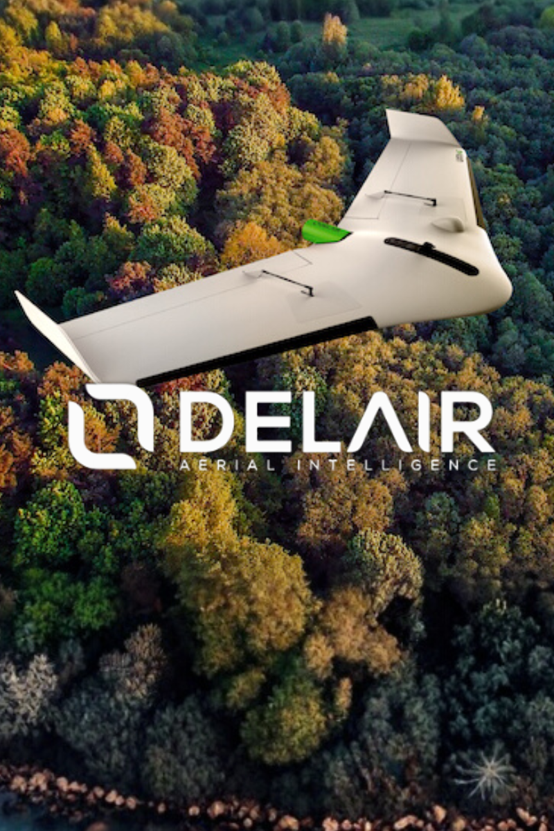
Building long range aerial sensors
Established in 2011 and headquartered in Toulouse, France, Delair is the leading international provider of high-performance drone-based solutions. Delair offers high performance fixed wing UAV for border surveillance, reconnaissance, intelligence and special operations forces. Their drones are designed for continual use in all seasons, are robust and easily repaired, with quality and industrial sensors.
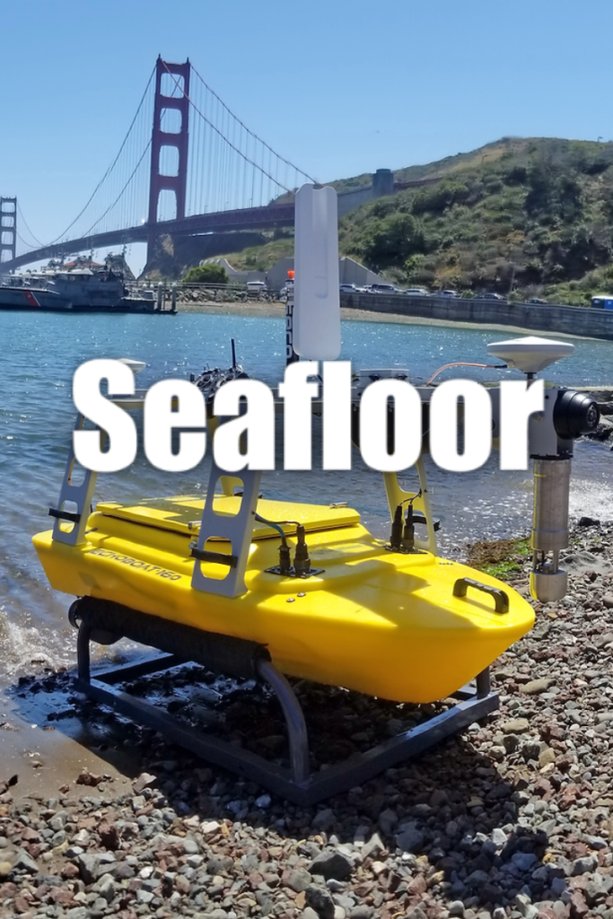
Complete Hydrographic Survey Solutions
Seafloor Systems, Inc. offers complete bathymetric survey technology from hydrographers, for hydrographers. From hydro-acoustic sonar equipment to our growing fleet of unmanned survey vessels, Seafloor have an array of products & services to ensure the success of your hydrography project – large or small.
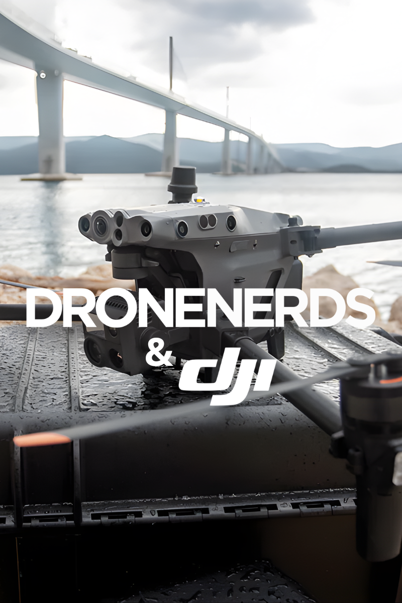
Elevate your flight experiences and operations with innovative UAV technology
Drone Nerds specializes in the supply of high-end drones for a variety of commercial, private, and recreational needs. As a leading DJI-authorized service center, Drone Nerds deliver the highest quality drones at the highest quality service.
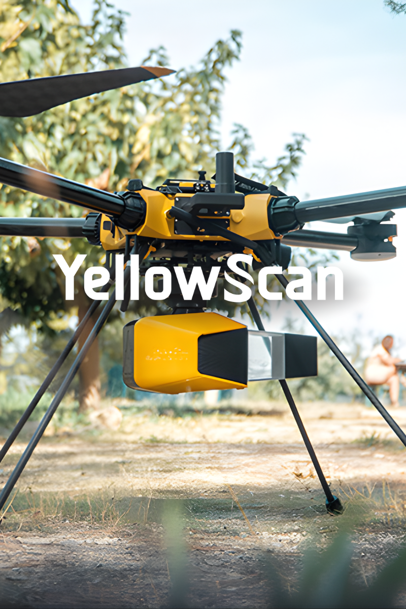
LiDAR solutions for professional surveying
YellowScan designs and manufactures reliable and ultra-light LiDAR solutions for UAVs. YellowScan systems provide 3D mapping point cloud data for many applications such as for surveying, forestry, environmental research, archeology, industrial inspection, civil engineering, and mining.
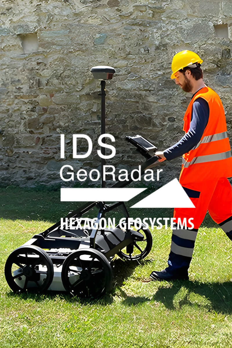
Intelligence Below the Surface
IDS GeoRadar provides products and solutions for geophysical, mining, civil engineering, and security applications. Founded in 1980 as part of IDS Ingegneria dei Sistemi in Pisa, Italy, IDS GeoRadar is a world Leader in Multi-frequency, Multi-channel Ground Penetrating Radar (GPR) systems
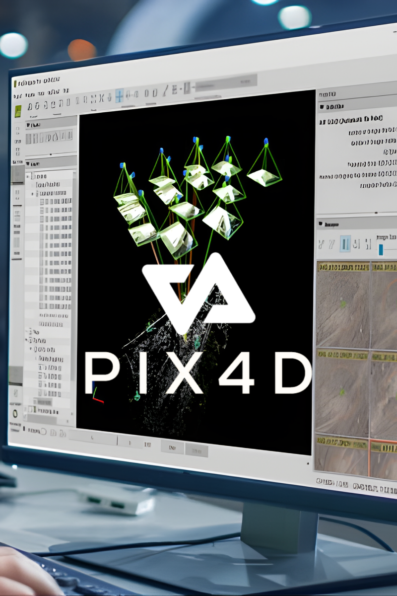
Professioanl Photogrammetry and drone mapping software
Pix4D is a market leader in photogrammetry software technology. Their products enable you to digitize reality and measure from images taken from planes, drones, phones, or any other camera. Pix4D is a Swiss software company founded in 2011 they have developed a suite of software products that use photogrammetry and computer vision algorithms to transform DSLR, fisheye, RGB, thermal and multispectral images into 3D maps and 3D modeling.
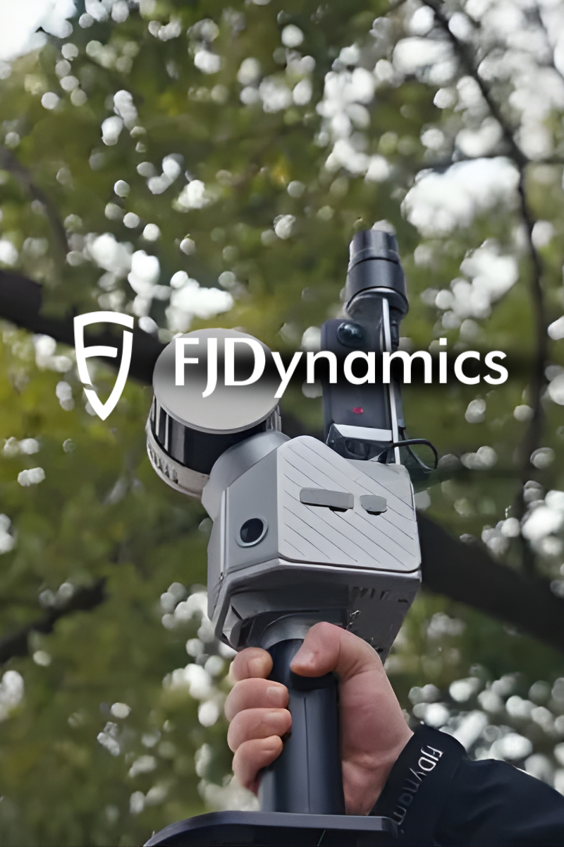
SLAM technology for any project
FJDynamics is a robotics company focusing on digitization, automation and new energy. At present, our technology has been widely applied across precision agriculture, digital construction, geospatial, electrical, etc. The company has R&D and operation centers in Singapore, U.S., Sweden, mainland China and Hong Kong. With the global reach of our business, we are excited to work with our partners and customers to build a better future for our world. We are committed to making useful and affordable robots for the most labor-intensive industries, using our technology to drive carbon neutrality and improve the working environment.
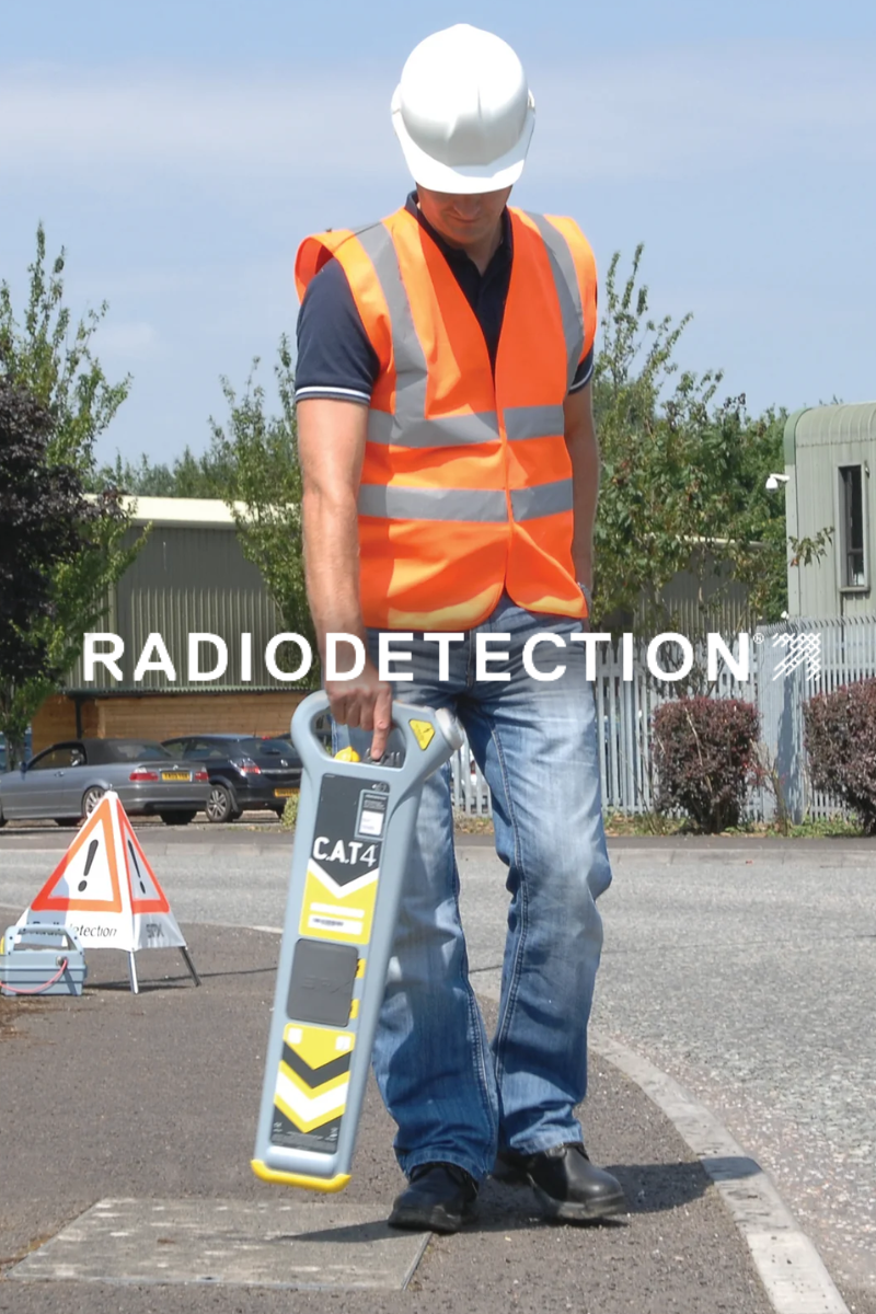
Confidence Below the Surface
Is a world leader in the management of critical infrastructure and utilities, providing best in class equipment and solutions, designed to prevent damage, manage assets and protect lives. Founded in 1977, Radiodetection is globally recognised for its established range of tools and digital solutions.
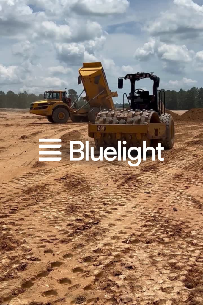
Helping Operators get More Done
With the Bluelight Autopilot Kit, any compatible machine can be transformed into a high-performance autonomous system. Designed to support operators—not replace them—Bluelight enhances precision, reduces physical and mental strain, and takes operational efficiency to the next level.